Magmatites and Metamorphites
Magmatites and metamorphites represent potential geothermal aquifers (fractured, fractured-karstified). The identification and mapping of appropriate rocks and structures as well as geothermal manifestations for the basis of any exploration.

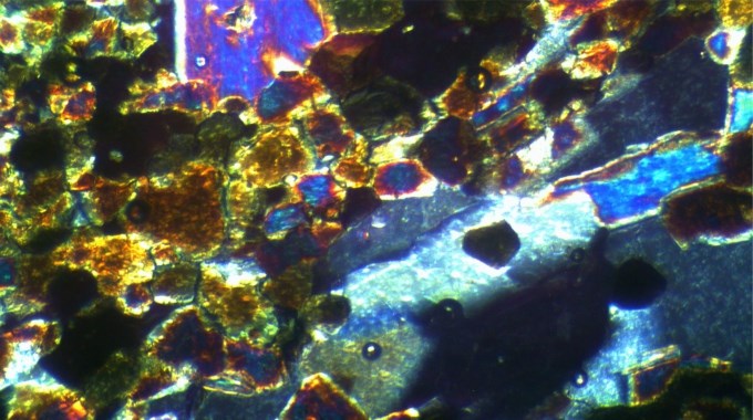
The mapping of metamorphic and magmatic rock is the starting point of the exploration of geothermal systems. Along with the classification of the rocks, the deviation of the tectonomorphic facies and the descriptions of alterations of magmatic and metamorphic rocks, the conditions of their formation are reconstructed. After the field work, intensive analysis in the laboratory is necessary including, i.a., microscopic and other methods (XRF, XRD). The extrapolation into “depth” of the information proven in the field is the basis of the follow-up geophysical explorations and drilling of an exploratory well.
GTN offers the full range of the processing of metamorphites and magmatites:
- Mapping of the rocks (in the field and in the well)
- Petrographic processing (incl. geochemistry, geothermometer, rock physics, etc.)
- Logging of fractures, faults and analysis of the tectonic conditions
- Documentation of the diagenetic and metamorphic paths
- Reconstruction of the kinematic development of fault systems
- Studies into the planning of geophysical explorations and wells
The mapping of appropriate structures, rock units and geothermal manifestations (springs) serve for the identification of suitable geothermal sites.